Program Details
| Location | Orange Walk, Belize |
| Status | Active |
| Stage | Post Investment |
| Program Area (ha) | 87,059 |
| Reductions/Removals (Avg Annual) | 736,688 tCO2e |
| Program Type | REDD+ APD |
| Blue Carbon/Peatland | – |
| Market Standard | VCS 4.7, CCB 3.1 |
| Methodology | VM0007 |
| Program Start | 2020 |
| 1st Verification | 2025 |
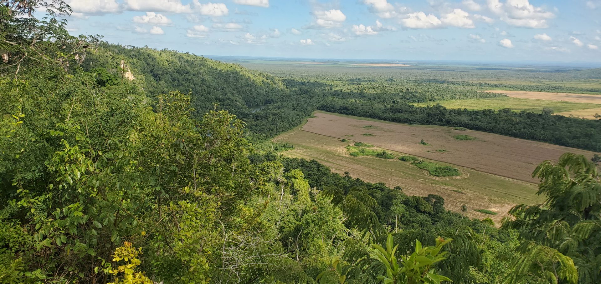
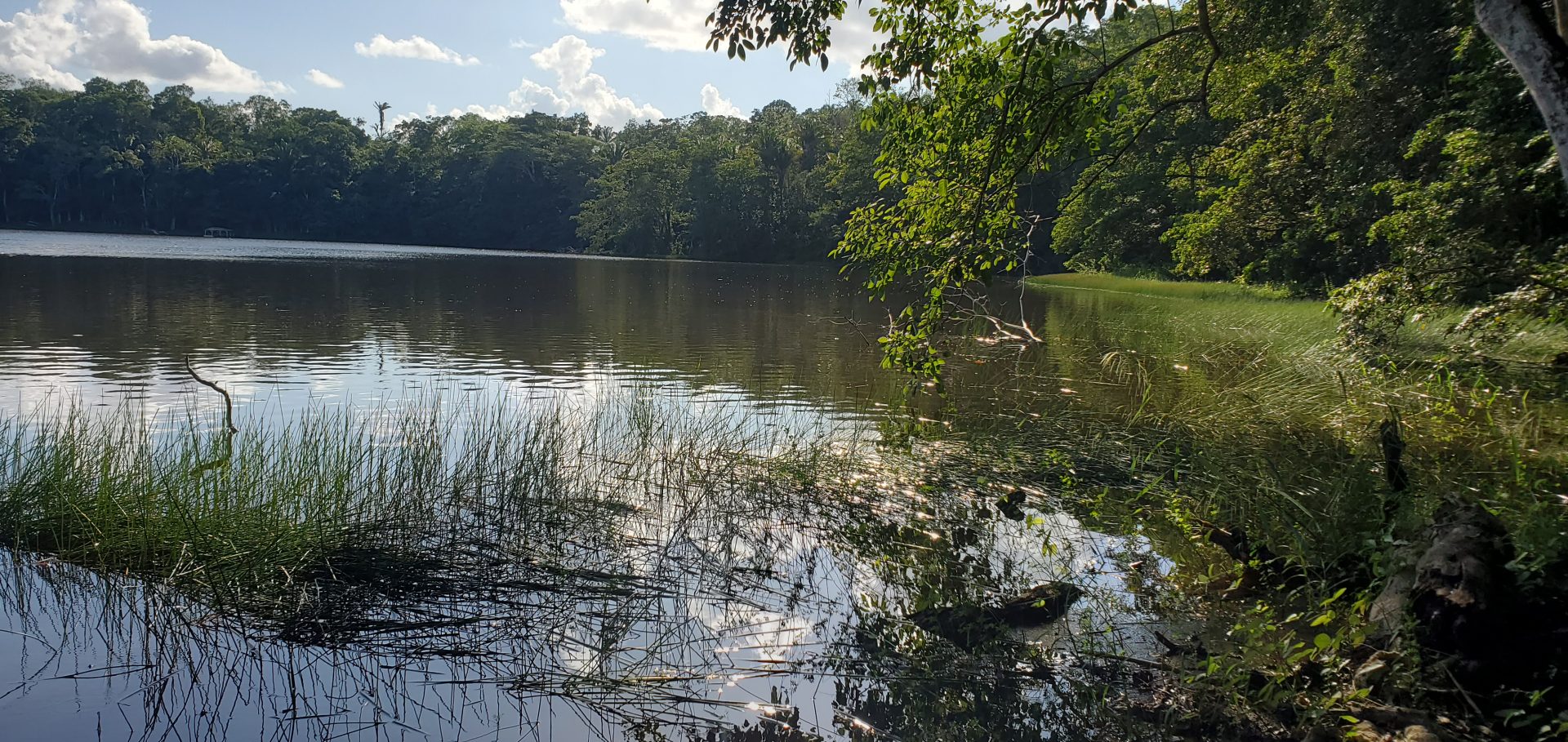
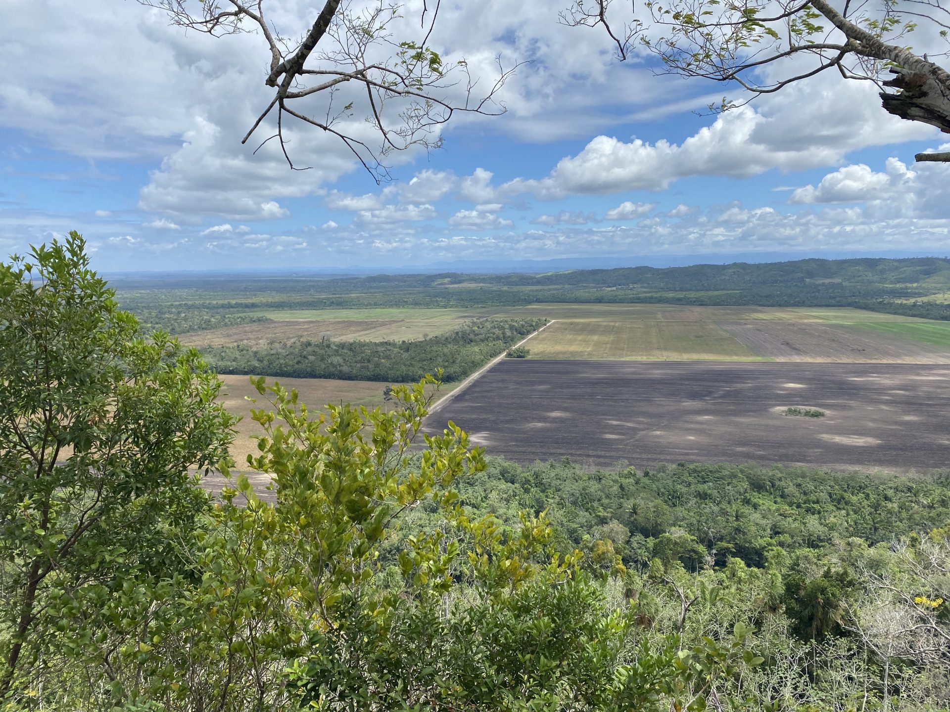
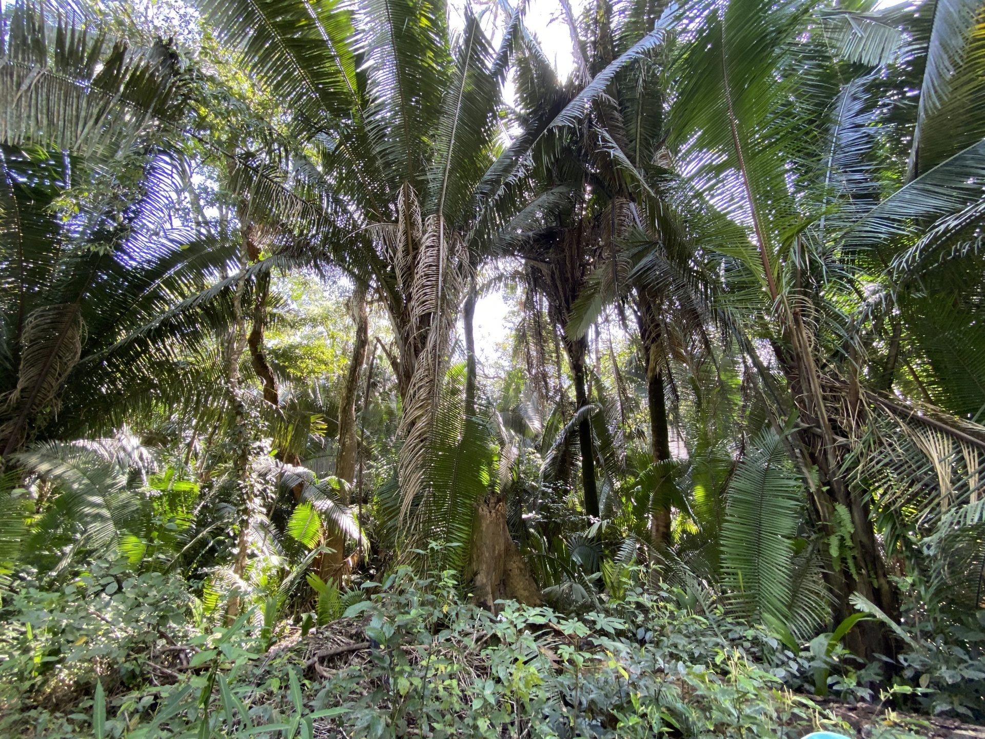
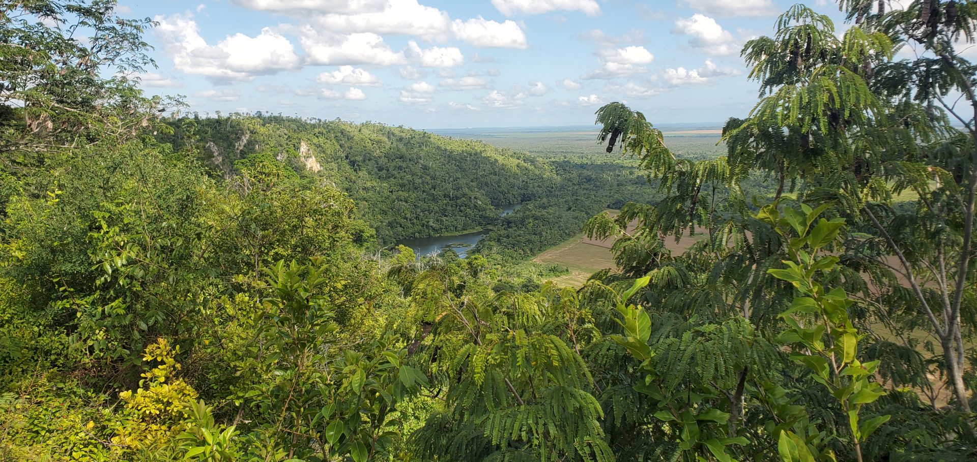
The Belize Maya Forest REDD+ Program prevents planned deforestation and agricultural conversion across 87,059 hectares of tropical forest in Orange Walk District, Belize. The Program includes the Yalbac and Laguna Seca parcels—once at risk of sale to agricultural investors—and ensures their permanent protection through the Belize Maya Forest Trust (BMFT).
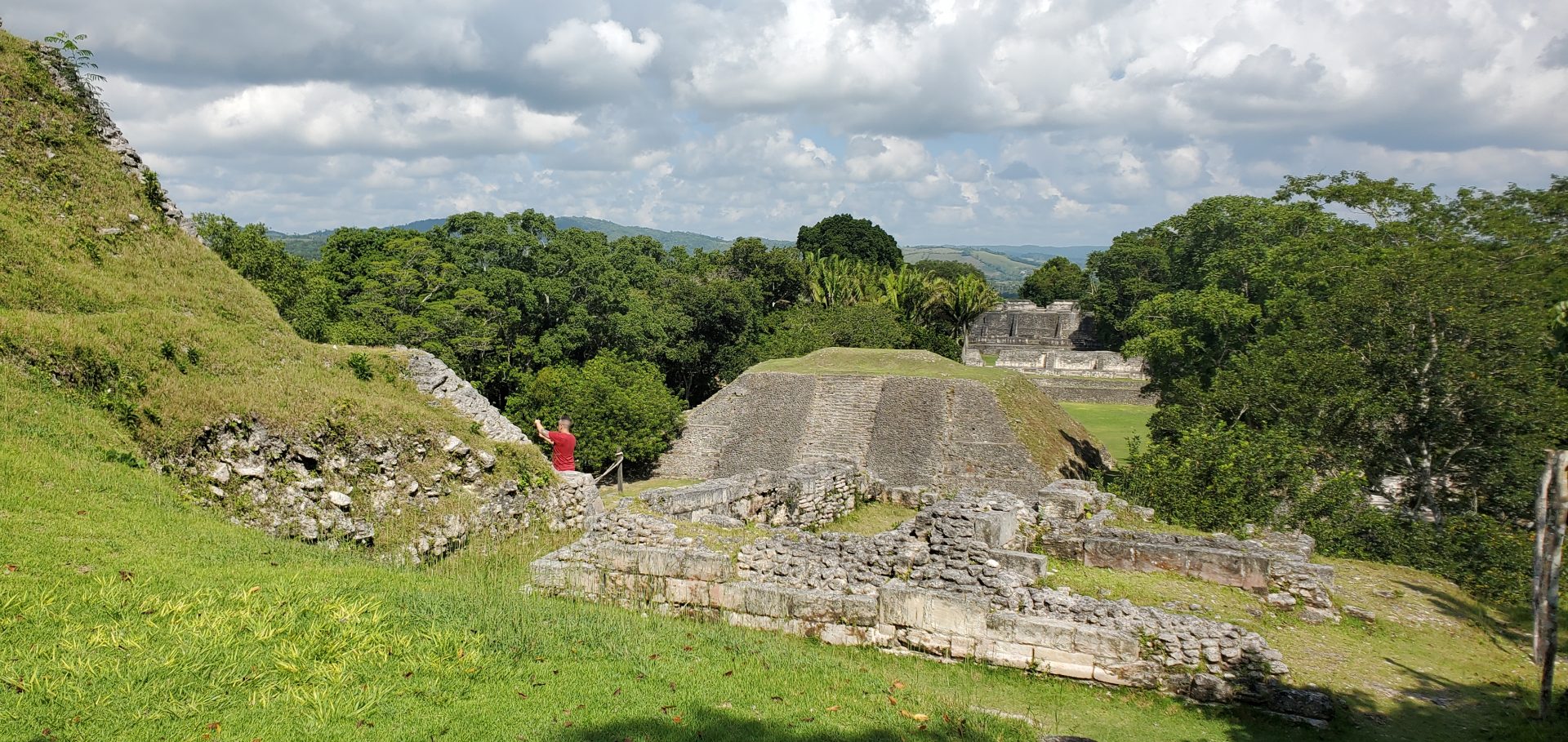
By avoiding conversion to agriculture, the Program safeguards one of the largest remaining tropical forests in Mesoamerica, part of the Selva Maya, the second-largest contiguous rainforest in the Americas after the Amazon. The area forms a critical link within the Mesoamerican Biological Corridor, maintaining genetic exchange and climate resilience across the landscape.
Program Highlights:
-
Protects 87,059 hectares of high-conservation-value tropical forest
-
Generates verified emission reductions under VCS and CCB standards
-
Prevents conversion of 78,180 hectares suitable for agriculture
-
Managed by the Belize Maya Forest Trust under a Conservation Action Plan
Program Documents
Program Activities
Surveillance/Patrolling
The surveillance and patrolling activities involve regular patrols throughout the reserve to monitor and prevent illegal activities such as logging and poaching. Data and evidence of any detected illegal activities are documented using the Spatial Monitoring and Reporting Tool (SMART).
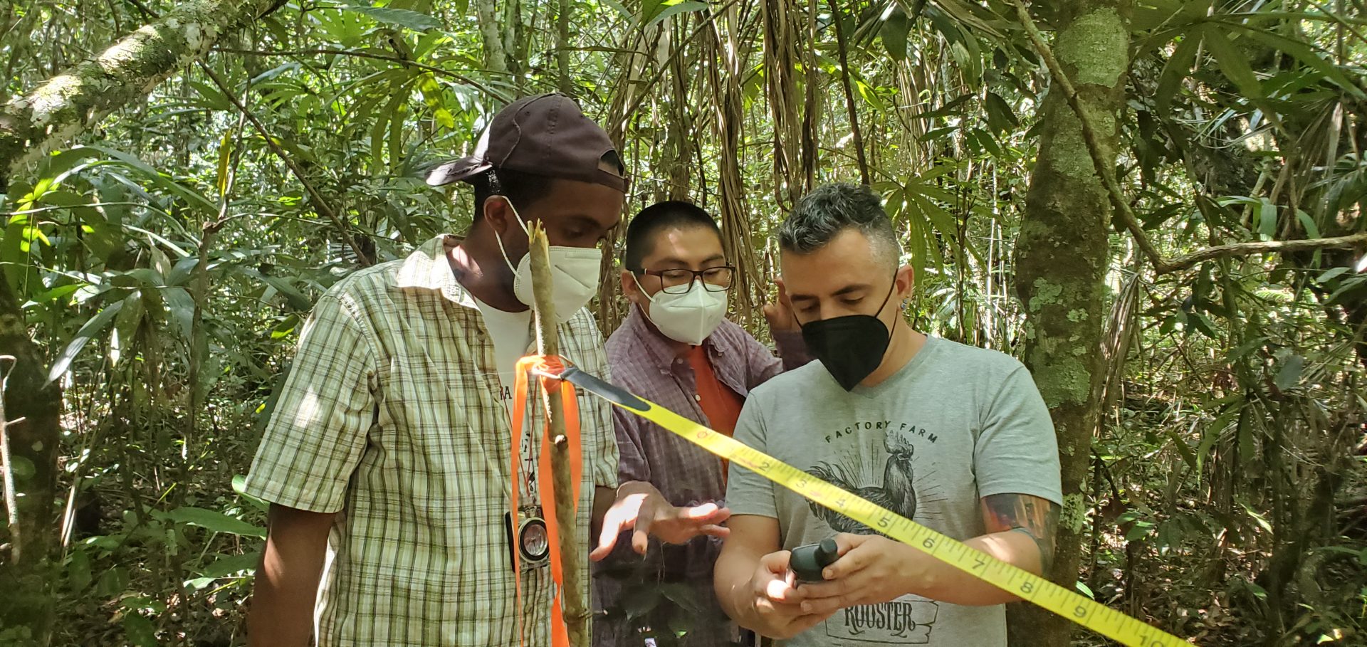
Program Gallery