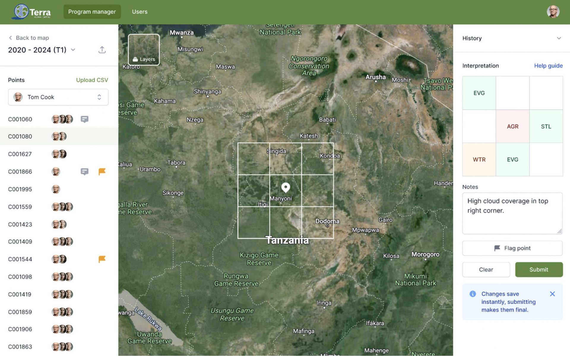
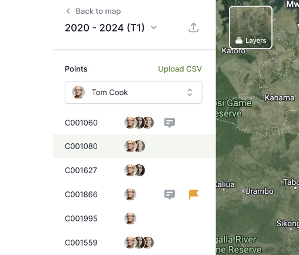
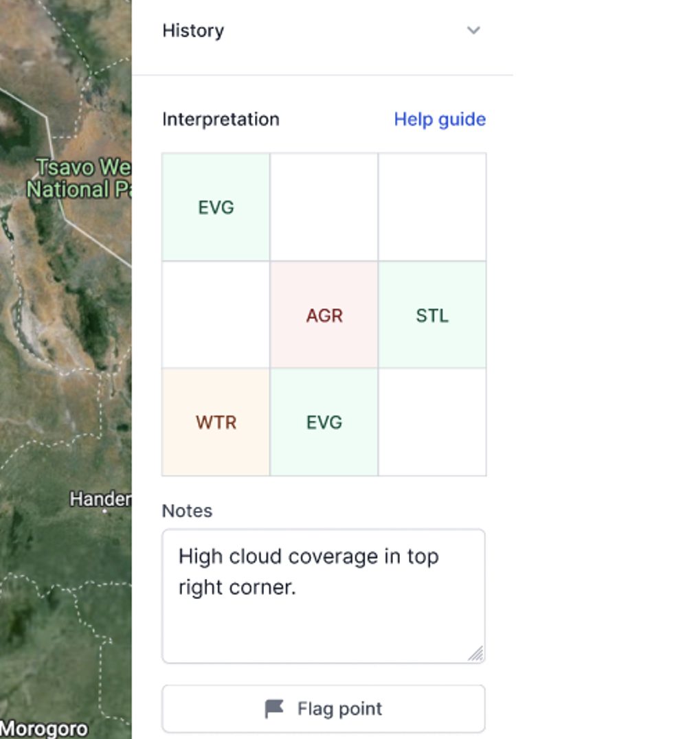
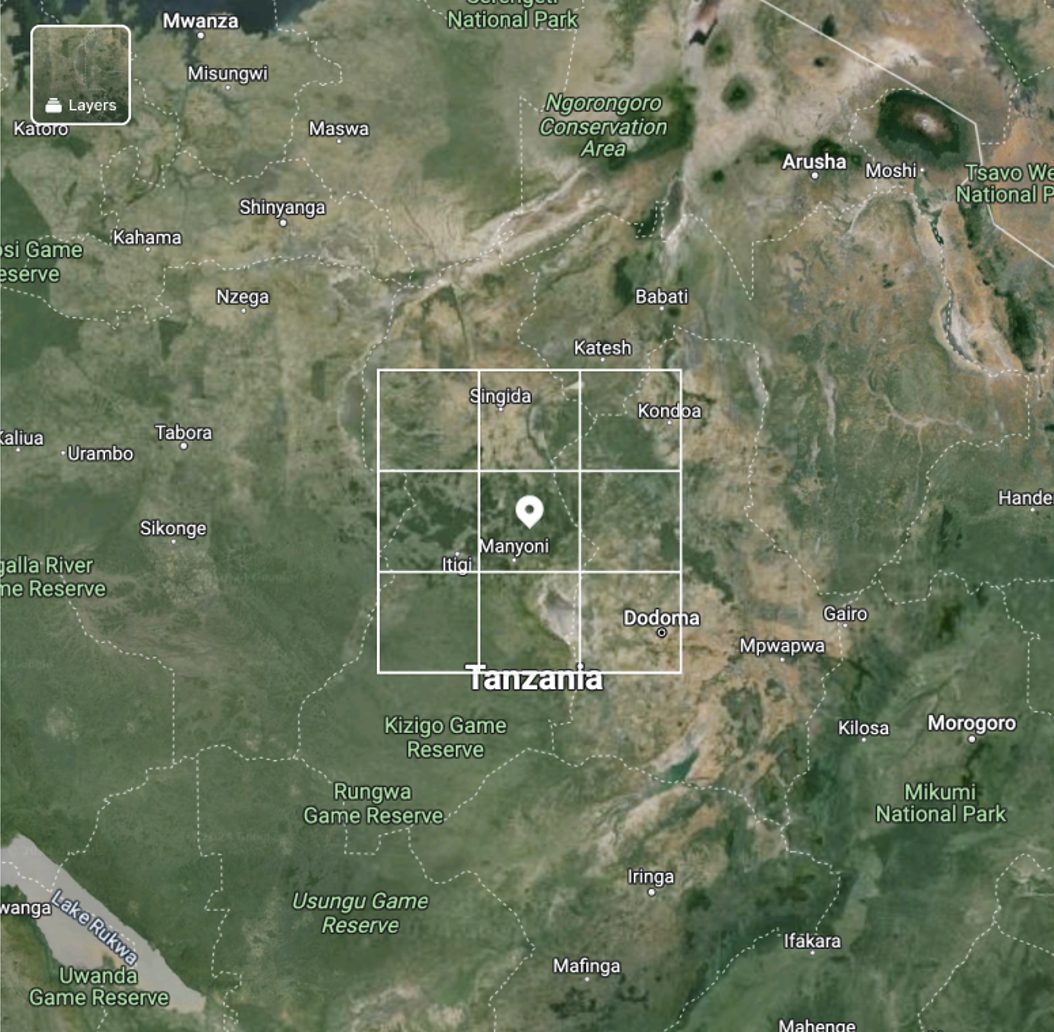
Collaborative Classifier
Bringing together local expertise with machine learning.
The Collaborative Classifier was designed to strengthen land classification by integrating local expert knowledge, AI-driven analysis, and uncertainty assessment to improve accuracy and reliability.
-
Participatory Classification: Engages experts and stakeholders to enhance accuracy, inclusivity, and transparency in land-use mapping
-
Enhanced Mapping: Combines expert validation with AI tools to improve precision and scalability
-
AI-Driven Accuracy: Leverages continuous learning and pattern recognition to refine classification models
-
Uncertainty Reduction: Applies validation and expert feedback to minimize errors and increase confidence in results
-
Integrated Methodology: Merges local expertise, machine learning, and compliance standards to ensure scientific validity