Program Details
| Location | Bago Region, Myanmar |
| Status | Active |
| Stage | Post Investment |
| Program Area (ha) | 96,888 |
| Reductions/Removals (Avg Annual) | 64,283 tCO2e |
| Program Type | JREDD+ |
| Blue Carbon/Peatland | – |
| Market Standard | JNR, VCS, CCB |
| Methodology | VM0006 |
| Program Start | 2016 |
| 1st Verification | 2025 |
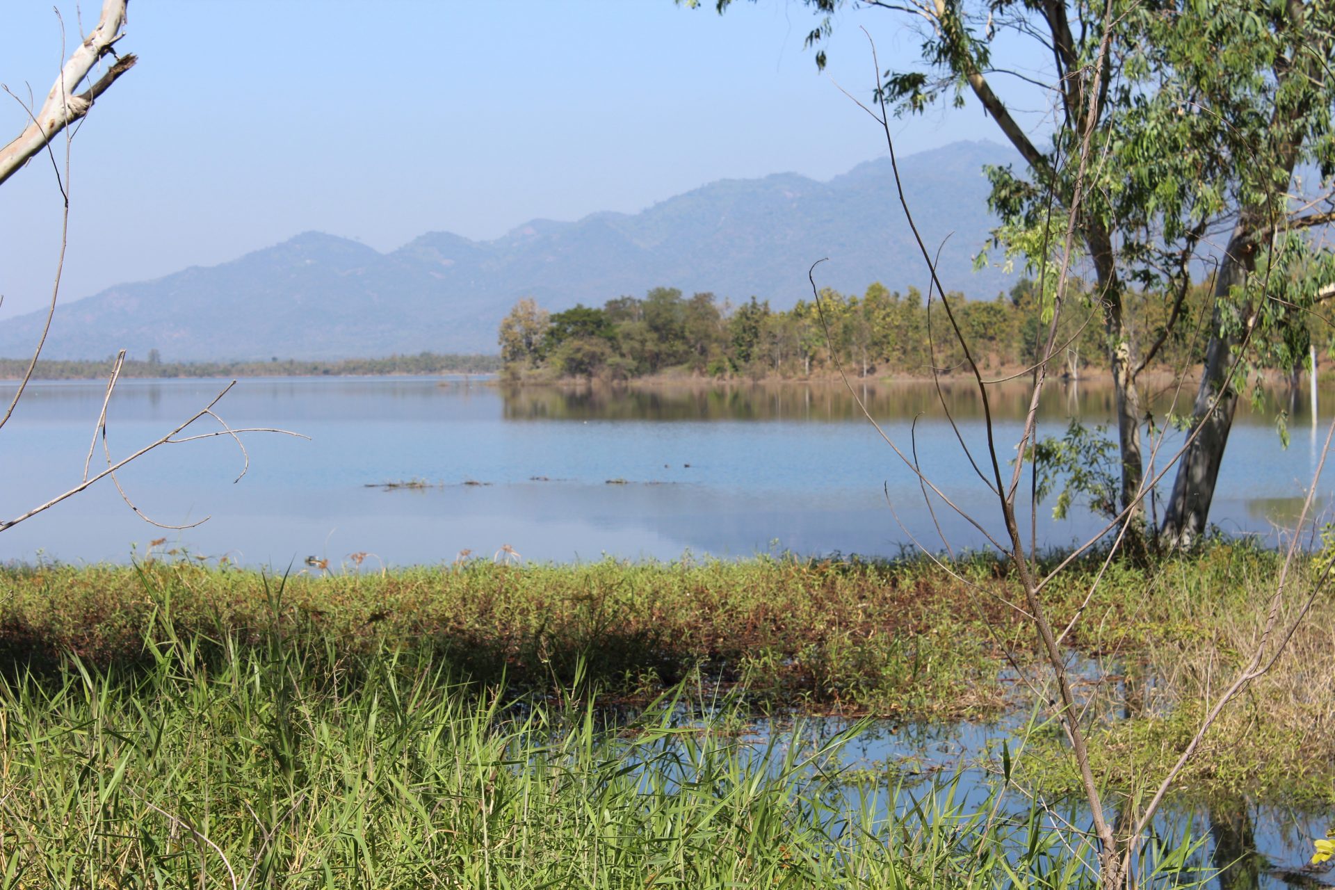
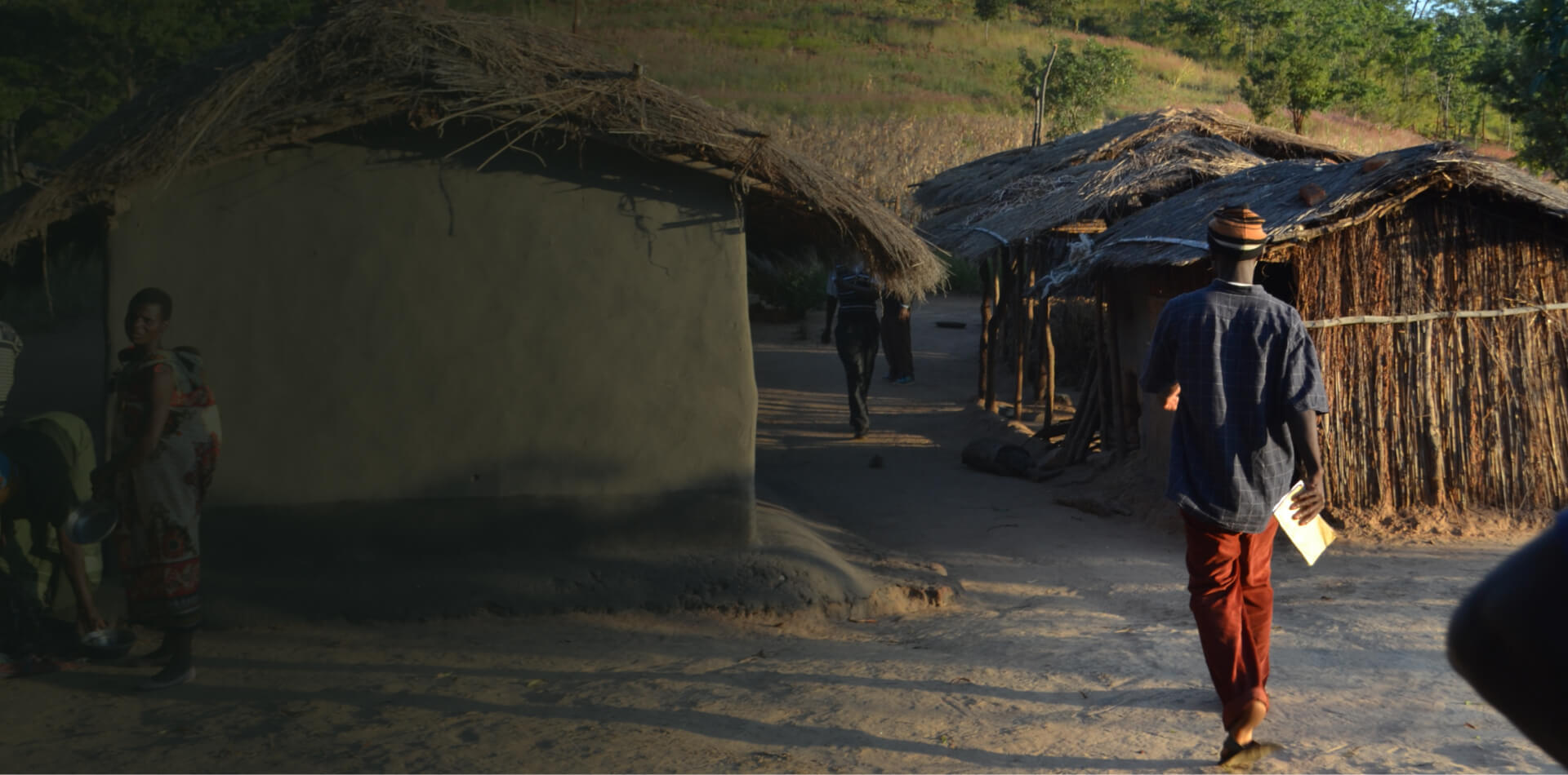
The Myanmar JREDD+ Program in the Bago Region is the first jurisdictional-scale REDD+ initiative in Myanmar, developed to reduce deforestation, improve livelihoods, and conserve globally significant biodiversity. Spanning 1,702,047 hectares, the Program covers Reserve Forests, Community Forests, Protected Public Areas, and the Protected Area System, representing 92% of all forests in the Bago Region. The Program was initiated by the Myanmar Forest Department under the Ministry of Natural Resources and Environmental Conservation (MONREC) in collaboration with the Korea Forest Service (KFS), the Korea Forestry Promotion Institute (KoFPI), and Terra Global Capital. It establishes Myanmar’s first Jurisdictional and Nested REDD+ (JNR) Baseline, validated under the Verified Carbon Standard (VCS) and aligned with the Climate, Community, and Biodiversity (CCB) Standards.
Program Highlights:
-
Total Area: 1,702,047 hectares of high-conservation-value forest
-
Annual Emission Reductions: 238,397 tCO₂e per year
-
Jurisdictional Framework: Validated under the VCS JNR Standard for scalability to national REDD+
-
Biodiversity Significance: Habitat for endangered species including the Asian elephant, clouded leopard, Hoolock gibbon, and sun bear
-
Local Governance: Implemented through the Forest Research Institute (FRI), ensuring national ownership and technical integrity
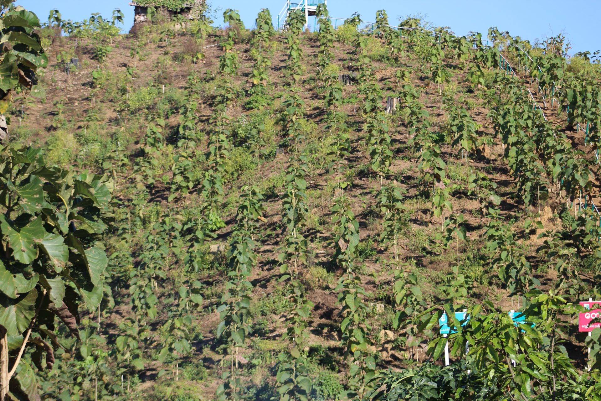
First Program Activity Instance: The North Zamari Wildlife Sanctuary, covering 75,000 hectares of tropical upland rainforest
The Program’s long-term vision is to build a scalable, performance-based framework for REDD+ across Myanmar that unites forest protection, community benefits, and sustainable development.
Program Documents
Program Activities
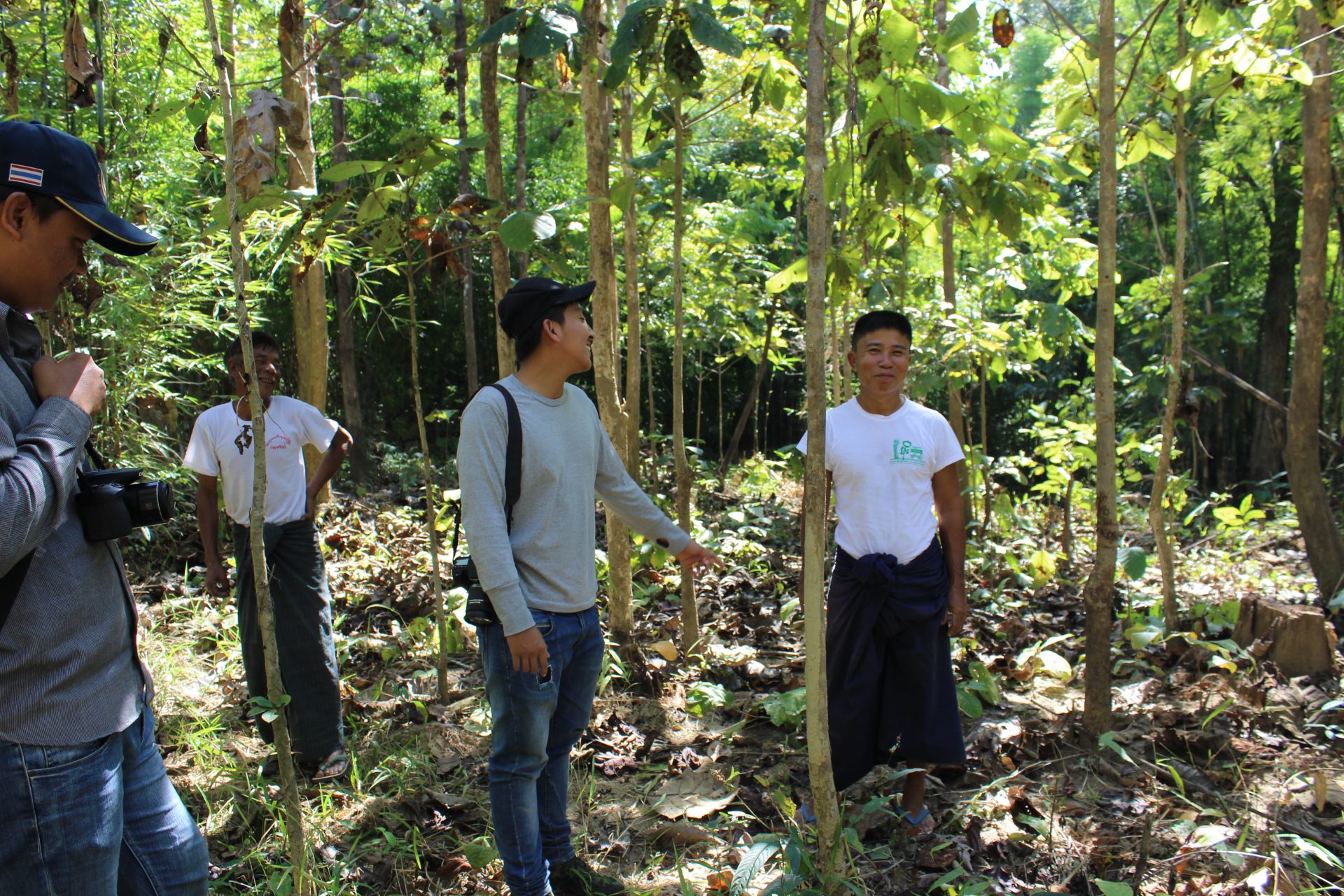
Strengthening Land Tenure and Forest Governance
Clarifies and formalizes land rights to promote secure and transparent management of forest resources.
-
Boundary demarcation of the 71,044-hectare North Zamari Reserve Forest, with annual maintenance and monitoring.
-
Establishes clear legal tenure for the Forest Department under the Ministry of Natural Resources and Environmental Conservation (MONREC).
-
Promotes community forestry registration and co-management under the Community Forest Instruction policy.
-
Builds governance capacity among local authorities and Forest Department staff for long-term enforcement.
Outcome: Stronger tenure security reduces encroachment, improves cooperation between communities and the government, and enables sustainable forest protection.
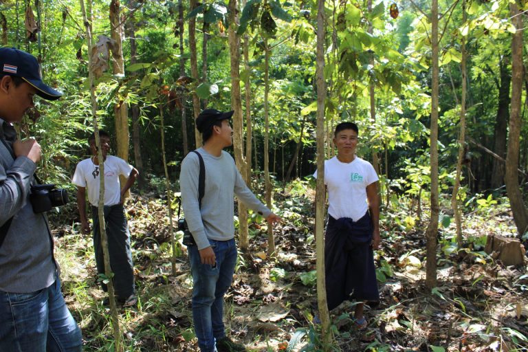
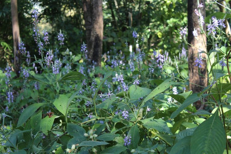

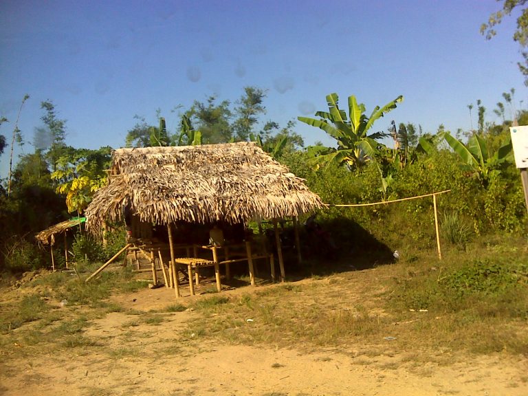
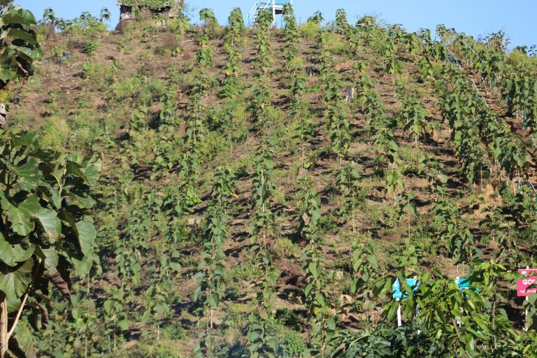
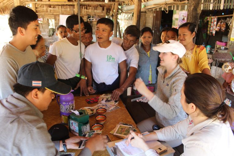
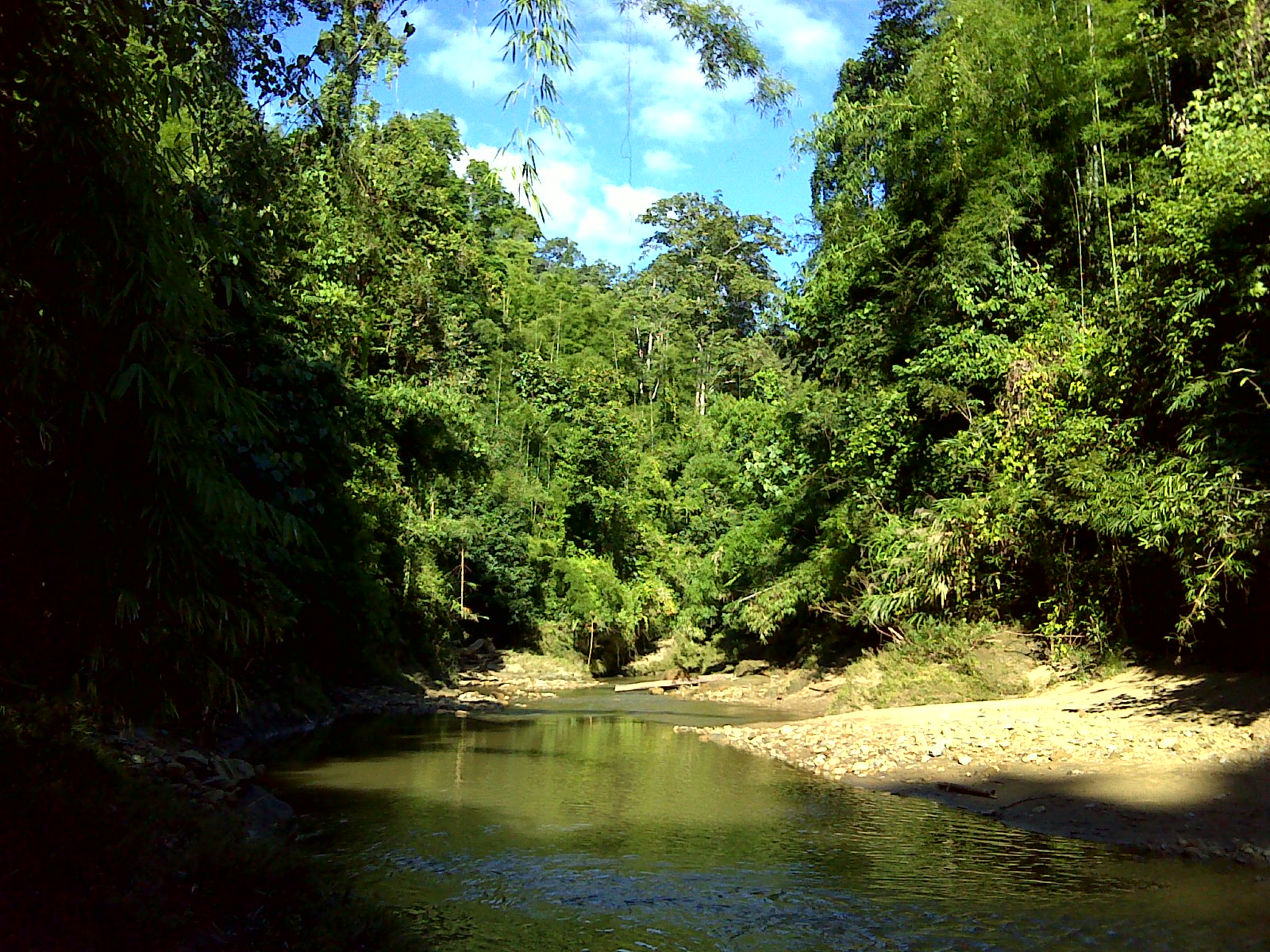
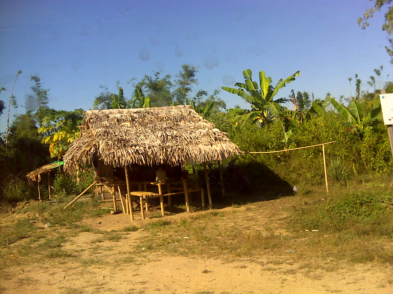
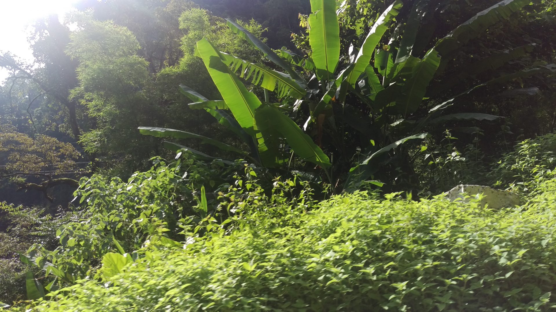
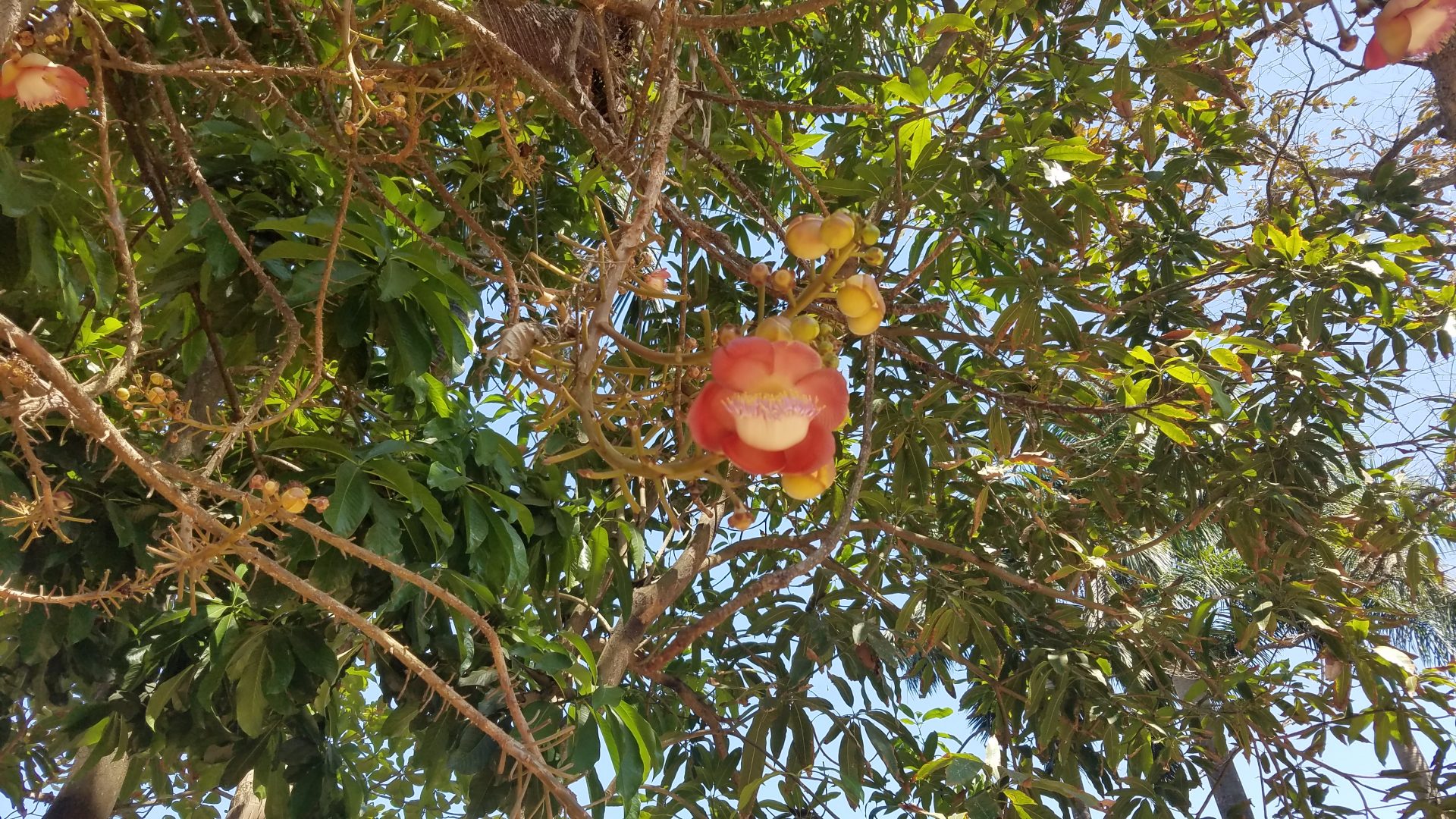
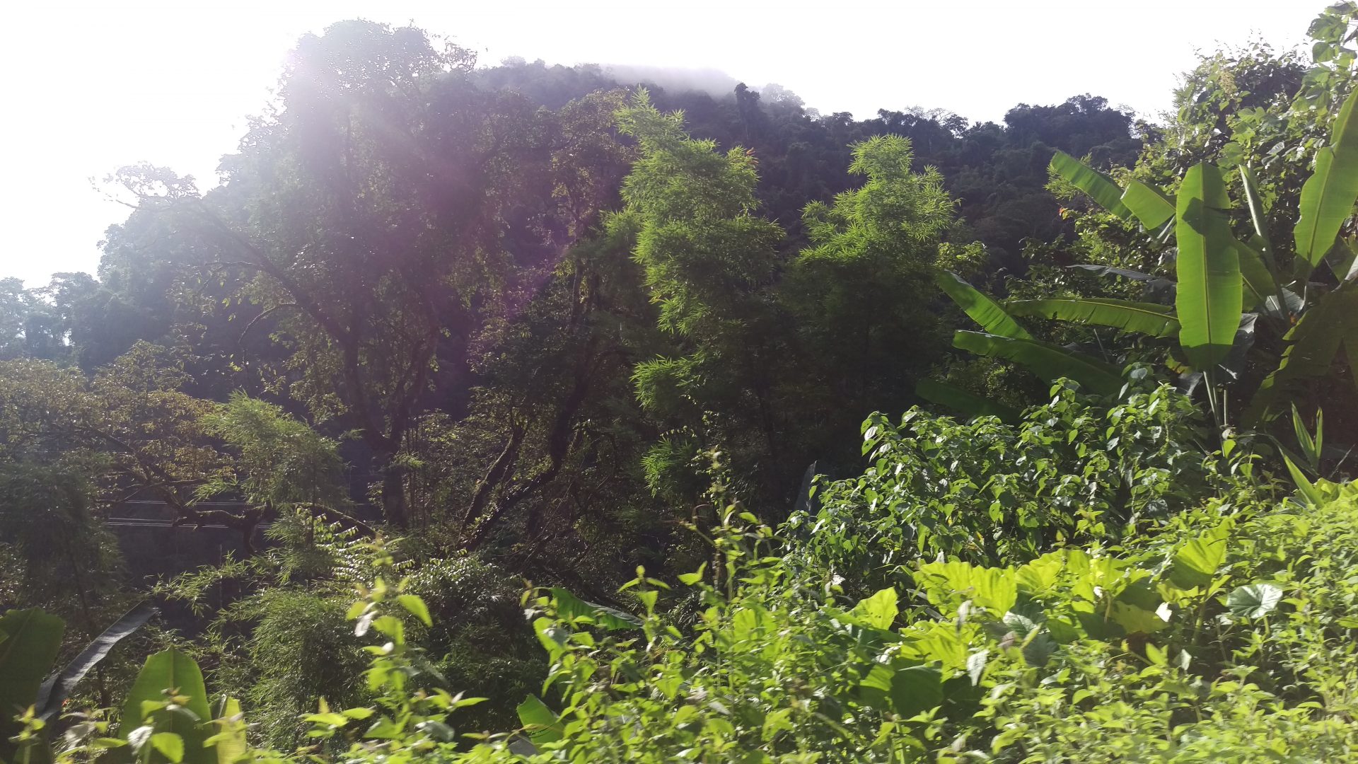
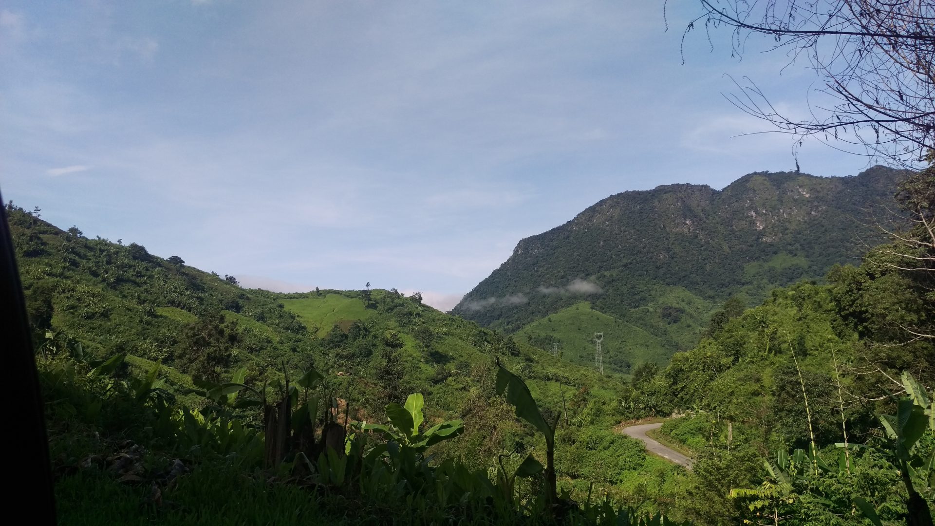
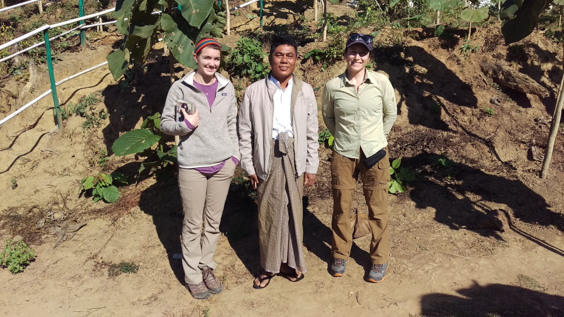
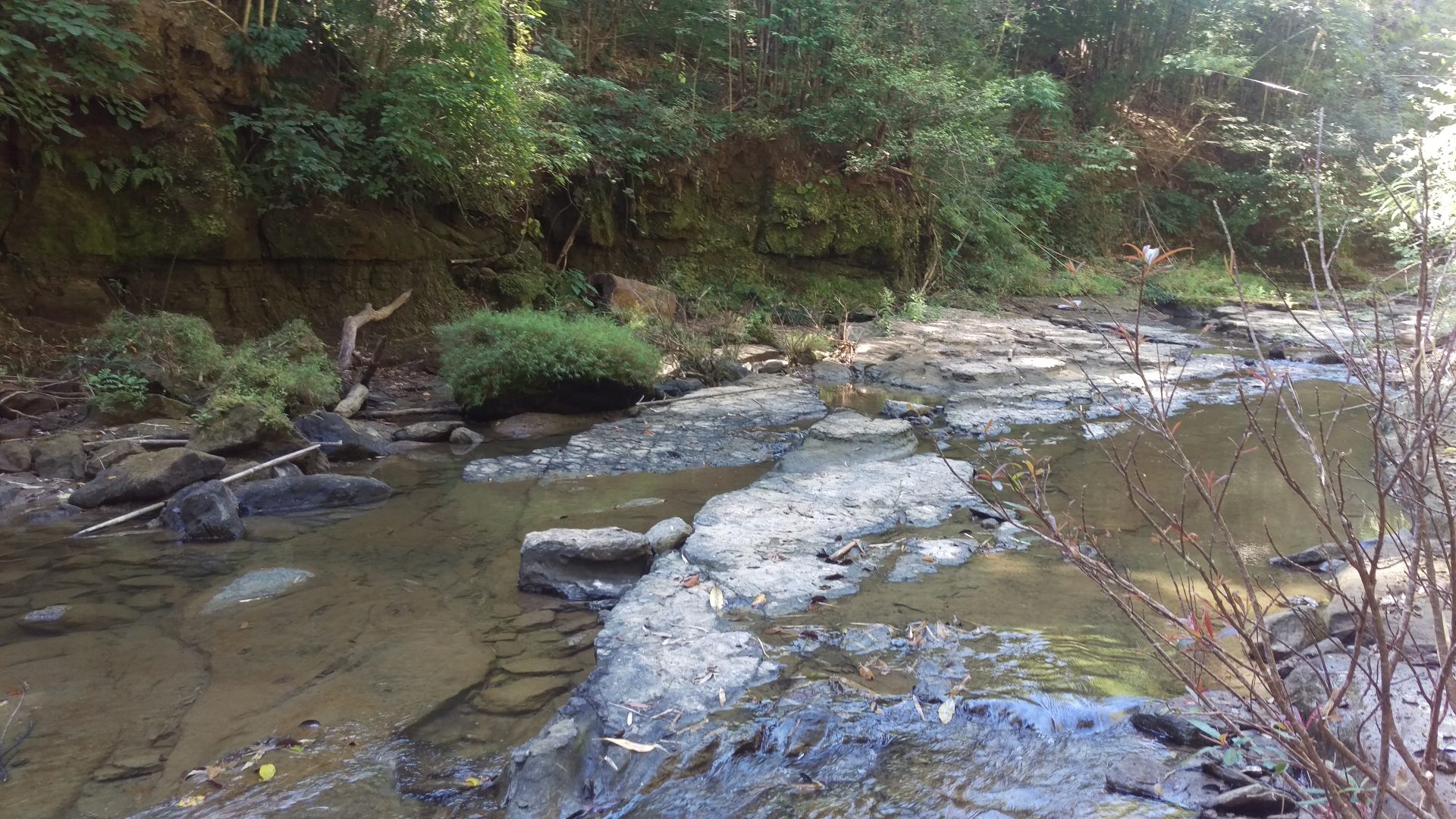
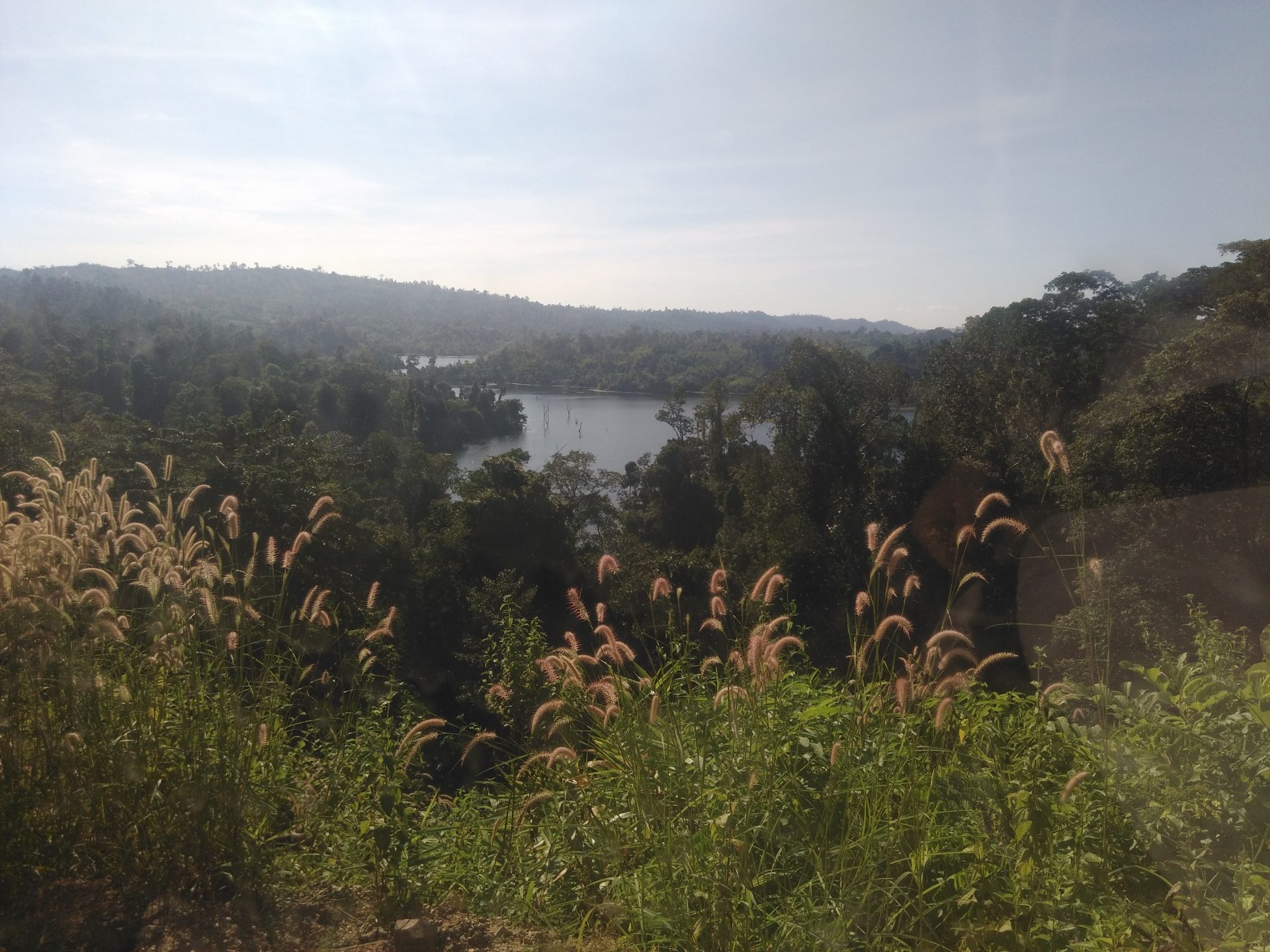
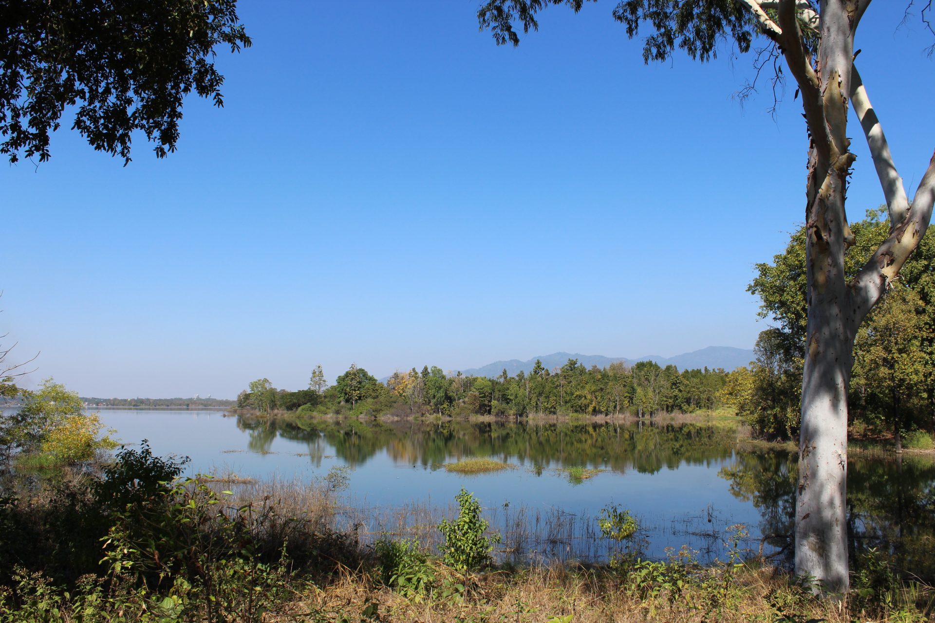
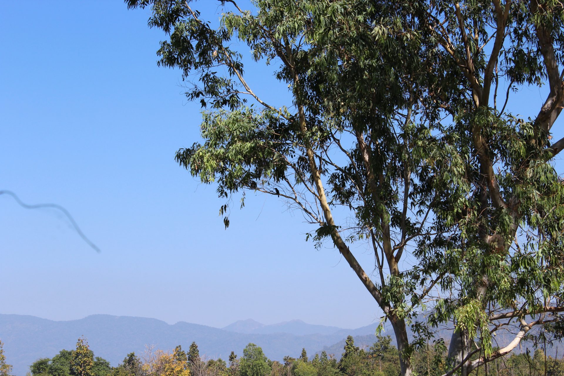
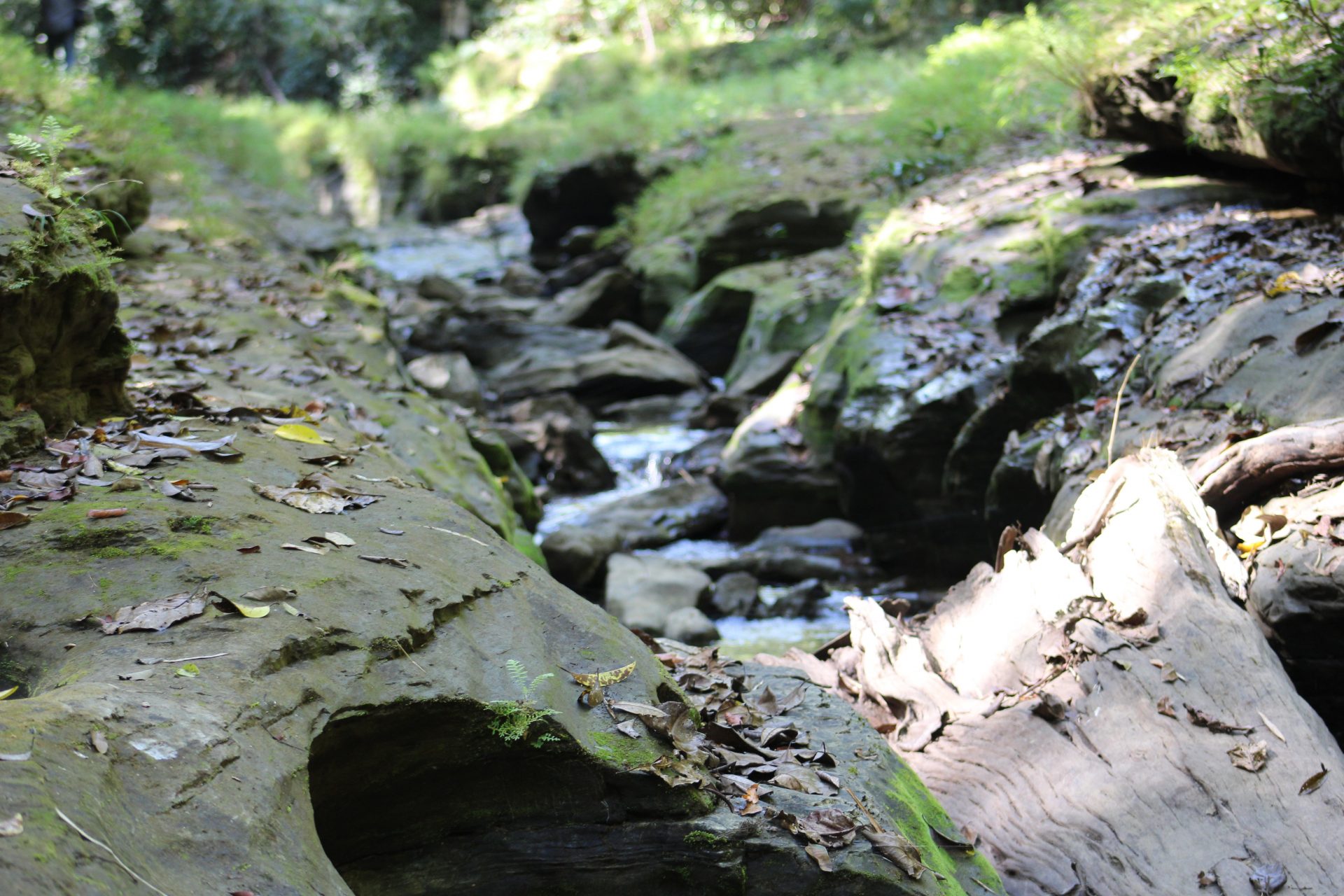
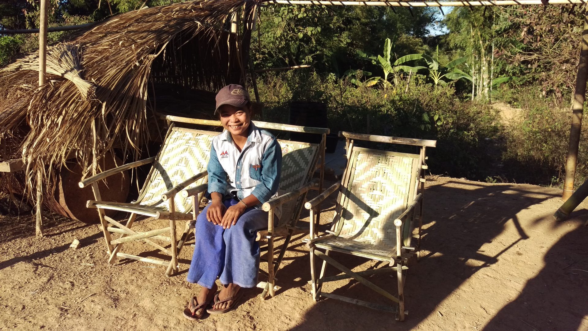
Program Gallery