Nested Activity Manager
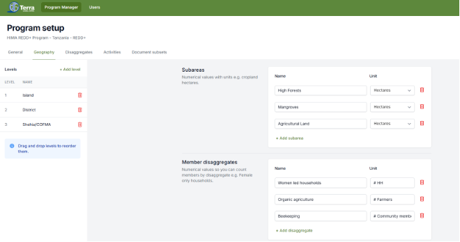
Streamlined and flexible field-based activity data capture, secure storage, and on demand retrieval are primary requirements of monitoring and reporting on natural resource management activities and facilitating results-based benefit distribution. The Nested Activity Manager combines five modules to achieve a comprehensive data management and visualization platform. The Nested Activity Manager was designed to support geographically nested activity management with highly customizable monitoring tools to support each program’s unique monitoring and evaluation requirements.
Dynamic Document and Data Library
This module provides easy and secure access to data, reports, pictures and other information and supports local partners' dynamic management of content and use of a collaborative framework. This module provides both versioning control and file upload/download histories.
Customized Maps
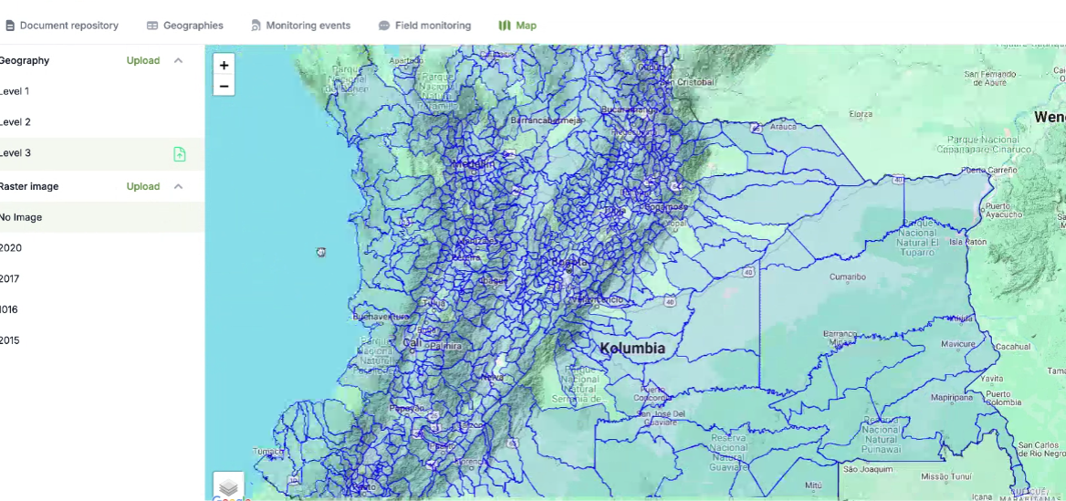
Visualize spatial data stored within the Nested Activity Manager using a web-based map interface. Users can also display the nested spatial relationships surrounding natural resource activities. Examples of spatial layers include administrative boundaries, natural features, land cover, activity parcels, data plot locations, transportations networks, hydrology, populated places, and cultural resources.
Nested Monitoring Module
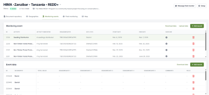
Store the specific information necessary for monitoring and reporting program activities, emission reduction results, livelihoods indicators and benefit sharing. Fully customizable to include additional compensation programs and monitoring efforts. Monitoring data can be entered via a web interface, uploaded in .csv format, or received direct from the field via mobile devices and SMS-based texting.
Social Assessments
The Social Assessments module provides a database structure for collecting, storing and reporting survey based data collected via household surveys or participatory rural appraisals.